la-veloscenie-a-pre-en-pail-pascal-beltrami-2.jpg
The Véloscénie cycle path

The Veloscenie

Linking Notre-Dame de Paris to Mont Saint-Michel by bike over 450 km, the Véloscénie cycle route is the perfect way to discover the history of France, illustrated by its most beautiful monuments, on cycle paths, greenways, small signposted roads and forest tracks.

logo-la-veloscenie.jpg

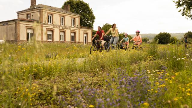
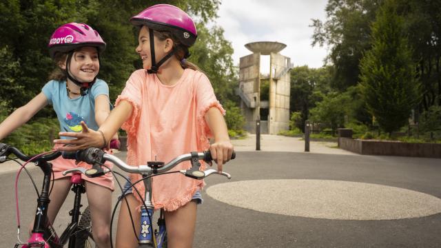
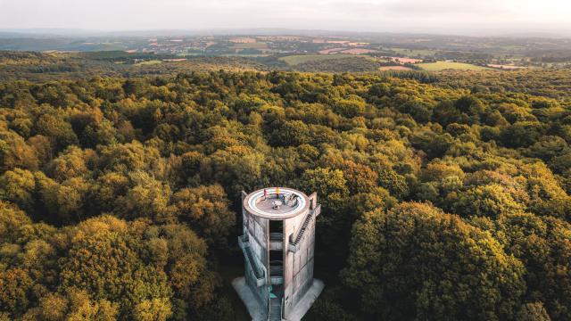
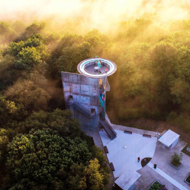
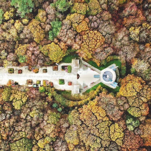
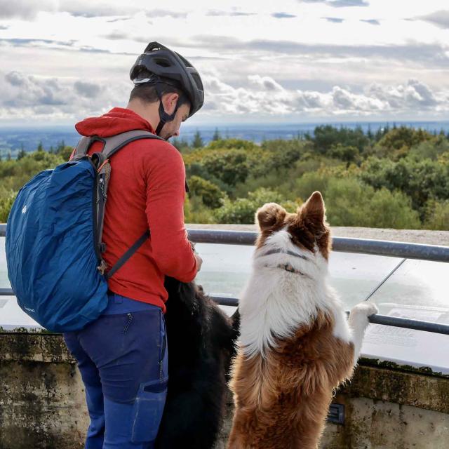
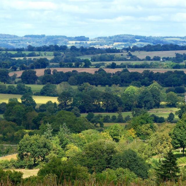
The Greenway in Northern Mayenne

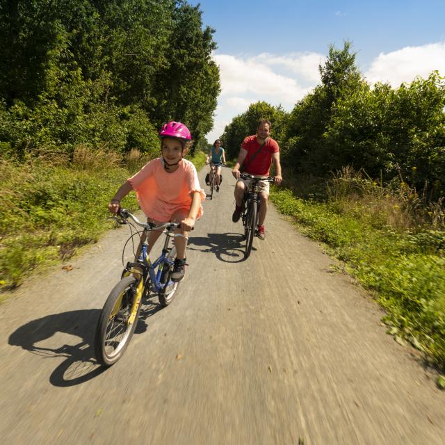
Whether you’re with family or friends, or you just want to ride like the wind on the Véloscénie routes in Mayenne, there’s something for everyone… Between Alençon and Bagnoles-de-l’Orne, the Véloscénie route is divided into two variants. The most family-friendly is the former Alençon – Pré-en-Pail-Saint-Samson – Rives d’Andaine railroad line, which has been converted into a safe and easy greenway.

A link exists between the Vélo Francette and the Véloscénie via the Mayenne and Javron-les-Chapelles greenways to extend the cycling itinerary.

On the paths of escape

La Véloscénie will take you through large, unspoilt areas such as the Mont des Avaloirs regional nature reserve. At 416 metres, this is the highest peak in the Armorican Massif and the Grand Ouest region. It’s accessible by bike via a rather sporting detour, but well rewarded by the superb view of the bocage from the belvedere. A real link between Orne and Mayenne, this new greenway winds through a landscape of rivers, forests and bocage typicalof the Normandie-Maine Regional Nature Park. Safe and well-marked, this stage presents no physical difficulties.

I’m preparing my trip

Because it’s important to be well-prepared before you set off, we’ve put all the practical information you need at www.veloscenie.com.

Planning your trip on the Mayenne section of

the Véloscénie

Other

unmissable attractions

The Véloscénie

seen by fans
Follow our news