Get the best view

Discovery trail
Belvédère des Toyères - Saint-Pierre-des-NidsBelvédère des Toyères - Saint-Pierre-des-Nids
©Belvédère des Toyères - Saint-Pierre-des-Nids|Sarah Veyseyrre

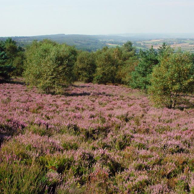
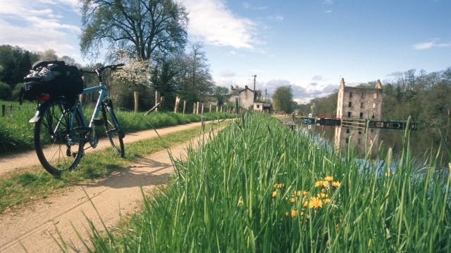
The Pays du Mont des Avaloirs is crossed by quiet and shaded roads which reveal a wild countryside made up of forests, moors and meadows, dotted with manor houses, cottages, small chapels and watermills.

It’s a hilly territory with lots of beautiful look-out points to enjoy.

The Mont des Avaloirs 

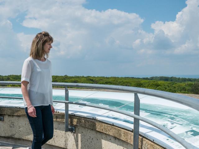
Head for Mont des Avaloirs, considered to be “the summit” of the West region. 416 meters (1360 feet) above sea level, to which you need to add 18 meters to reach an observation post. There is a staircase, so it’s not exactly Everest!

The view is magnificent, you get a real birds-eye view over fifty kilometres in every direction and no obstacles on the horizon.

In clear weather, legend says you can see the silhouette of the Mont Saint-Michel.

See if you can see it!

Close to the viewpoint is the source of the river Mayenne – a place called Pierre au Loup.
The Corniche de Pail and its Vulnerable Natural Areas

Continue your visit to the nearby Corniche de Pail.
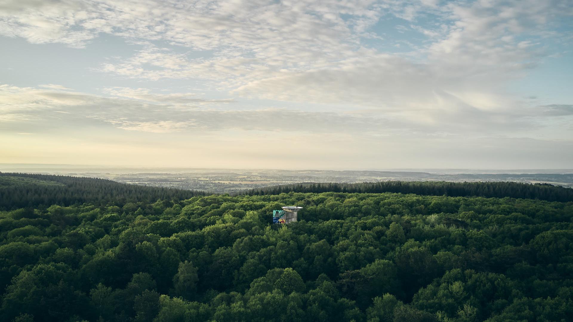
The corniche follows the road between Pré en Pail and Villepail (along the D20). The landscape is magnificent, being in a natural and protected area of ​​654 hectares, interspersed with moors, woods and meadows.
The ledge (corniche in French) rises to more than 350 metres in height, and forms a rocky promontory ten kilometres long, covered with forest.
The view is well worth the trip.

Very close to Villepail, the regional nature reserve of the Landes and peat bog of Egoutelles in Villepail are a reservoir of biodiversity, with rich and unusual flora and fauna.
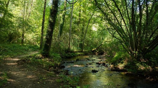
A former sandstone mining site and today a protected natural space where nature has re-established her dominion.
The site, which covers 2 hectares, is recognised as a natural area of outstanding ​​ecological and scientific interest.
You can visit on a discovery trail built on wooden walkways.

Toyères

On the borders of the departments of Mayenne and Sarthe, between Saint-Pierre-des-Nids and Saint-Cénéri-le-Gérei, the Toyères site is one of the most picturesque in the region.

The high point offers a superb view over the deep valley and the meanders of the Sarthe. The platform overlooks the gorges which have a drop of nearly 70 meters.
The imposing granite cliffs make it an place for climbers.
The whole area is classified as a Natura 2000 site, and has a particularly rich wildlife.

Several curiosities along the way…

On the road between Villepail and Saint-Pierre-des-Nids
La pierre au diable” is a megalithic monument 3.90 m high located at a place called “les Prés de la Poupinière”.

On the road between Saint-Pierre-des-Nids and Saint-Cénéri-le-Gérei is “La Trotté” mill, which ceased working around 1930 on the banks of the Sarthe, from where you can take a very nice walk along the river.

Pushing on towards Saint-Léonard des Bois
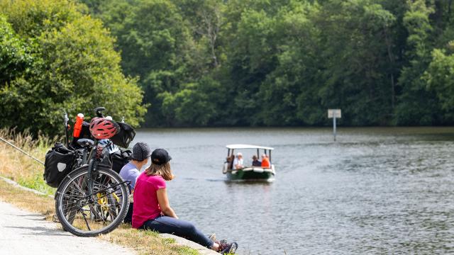
A “chain ferry” allows you to cross the Sarthe river at a place called “Le Val” in the municipalities of Saint Pierre des Nids and Saint Léonard des Bois. By connecting the two banks, the ferry takes us back to history, when the departments of Sarthe and Mayenne were united in a single territory called Maine.

Le Montaigu at Hambers

The Montaigu site is located southwest of Saint-Pierre des Nids (35 km) along the extension of the D20.
This rocky outcrop, which dominates the place where the rivers Sarthe and Ornette meet is classified “of national interest” in the same way as the Gorges du Tarn.
Le Montaigu and its surroundings are located in the municipality of Hambers. The site is home to a remarkable natural and cultural heritage including a chapel and a hermitage which, in the Middle Ages, welcomed pilgrims on their way to the Mont Saint Michel.
The countrysde is particularly well preserved, as are the villages and hamlets that retain all their traditional charm.

Wandering around

Mont des Avaloirs country
Follow our news
Close